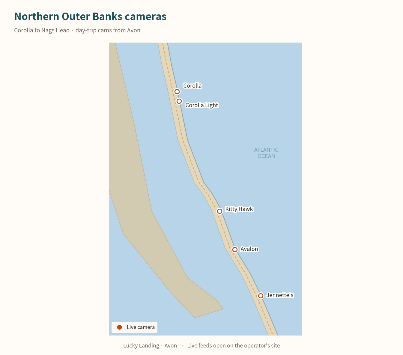
Every pin on one map
Click a marker for the live-camera page. Teal is the cottage — there is no camera on the property.
Live camera
Lucky Landing
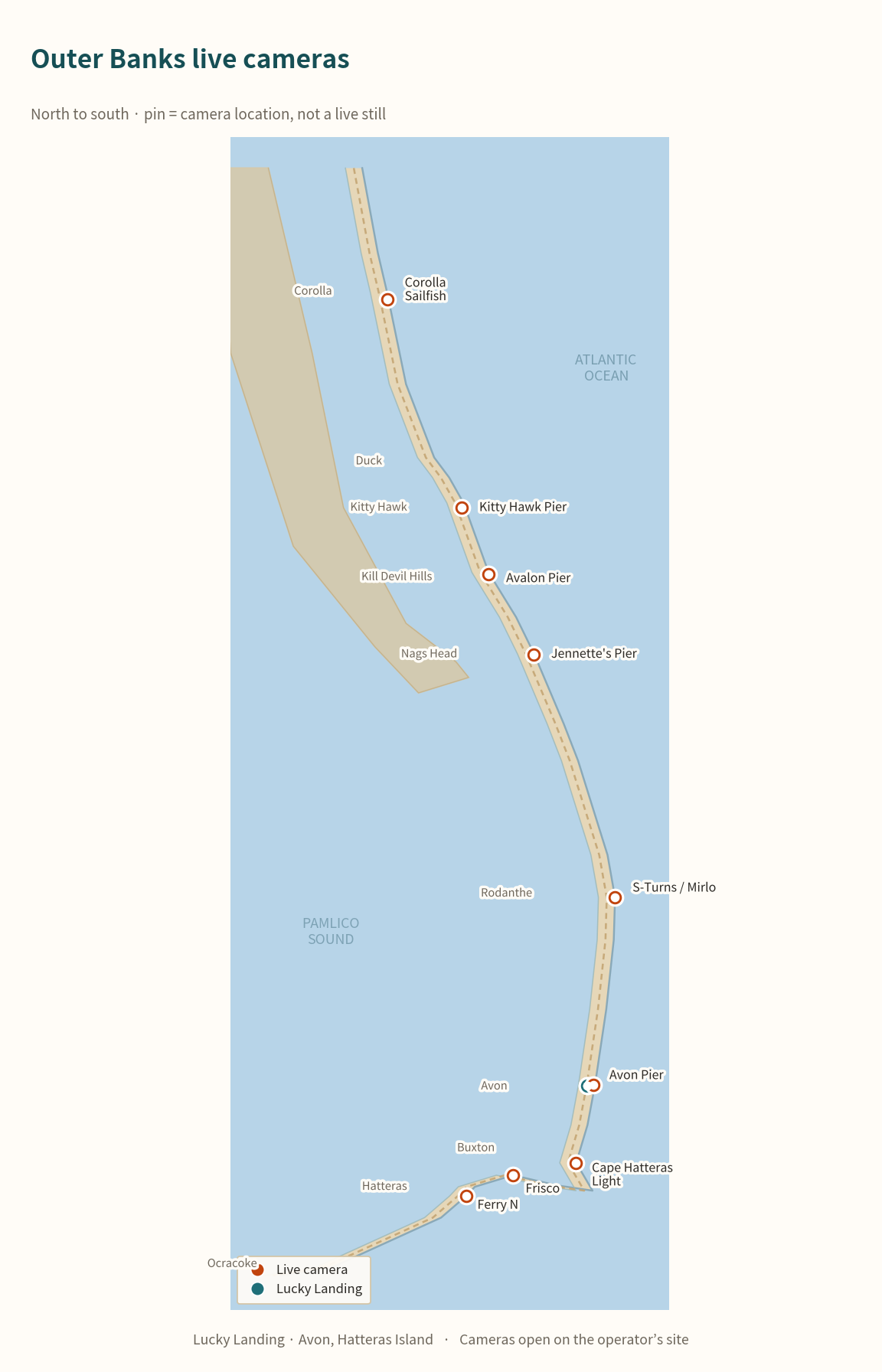
Every live camera worth bookmarking — individual pier and surf cams, named NC-12 and ferry cameras, and a map of each pin. Official and well-established sources only, opened in a new tab so you keep your place here.
These are outbound links to each camera’s own page, not embeds and not screenshots of the live feed. Surfline, NCDOT and the rest own those pictures; a pin on a map is ours. Linking out also means a camera going down for maintenance doesn’t take a chunk of this page with it.
Surfline’s live video is often behind their login. WebCOOS and NCDOT are free. Bookmark the two or three you’ll actually use.
Click a marker for the live-camera page. Teal is the cottage — there is no camera on the property.
Avon, Hatteras Island — check this one before you’ve made coffee.
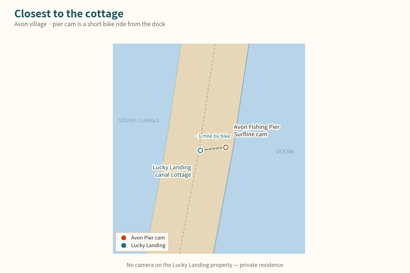
The individual pier cam, an easy bike ride from the dock. Live video on Surfline is often behind their login.
surfline.comA second single-spot page for the same village. This feed goes offline more often than Surfline; use it as a backup.
surfchex.comIndividual Surfline spot pages — the same feeds surfers and fishermen check before making the drive.
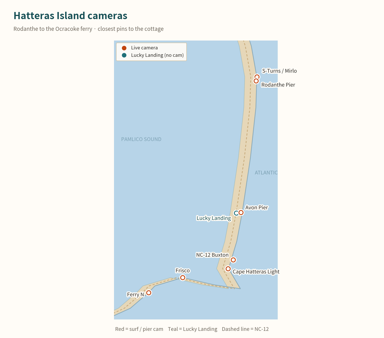
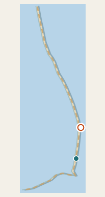
One of the most famous surf breaks on the East Coast, and the stretch of NC-12 most likely to make the news.
surfline.com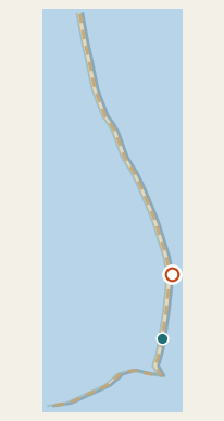
A second live look a little further south in Rodanthe, still on the same flood-prone stretch of island.
surfline.com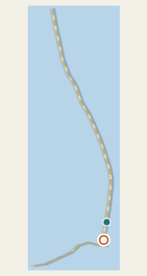
Old Lighthouse Beach in Buxton. This is the beach cam, not the lantern-room cam — the NPS tower feed is offline during restoration.
surfline.com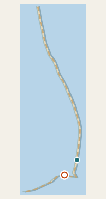
South of Buxton, near the Billy Mitchell airstrip and the Frisco Native American Museum.
surfline.comIf the day includes a run up to Corolla, Kitty Hawk, Kill Devil Hills or Nags Head.
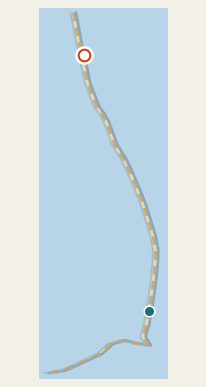
A single research-network beach cam on the Currituck Outer Banks — this page is the camera, not a directory.
webcoos.org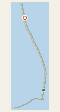
The resort’s own surf-cam page, not a menu of other towns.
corollalightresort.com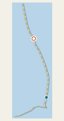
Near the Wright Brothers Memorial, at the busy middle of the Outer Banks.
surfline.com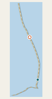
One of the longer-running piers on the northern Outer Banks.
surfline.com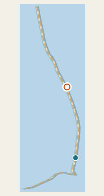
WebCOOS single-camera page, looking north from the NC Aquarium pier.
webcoos.orgThe matching south-facing camera on the same pier. Two pages, two angles.
webcoos.orgNC-12 is the only road on and off Hatteras Island. NCDOT does not publish a stable one-page URL for each camera, so the official move is DriveNC — search Dare County, turn cameras on, and click the icon that matches the pin.
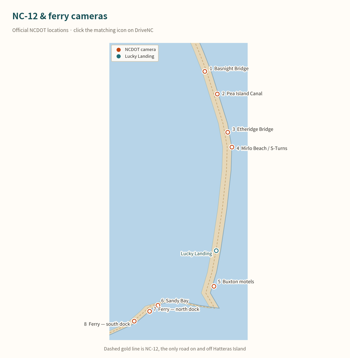
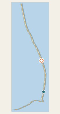
Oregon Inlet. The way onto Hatteras Island. On DriveNC, click the camera icon on the Marc Basnight Bridge.
drivenc.gov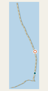
Low, exposed, and the first place overwash shows up north of Rodanthe.
drivenc.gov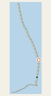
Pea Island, just north of the S-Turns / Mirlo stretch.
drivenc.govThe overwash celebrity. If this icon is standing in water, do not assume you can drive through Rodanthe.
drivenc.gov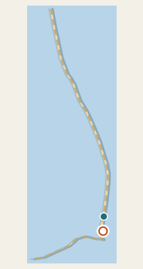
Village stretch of NC-12 in Buxton, useful when the cape is catching weather the rest of the island is not.
drivenc.gov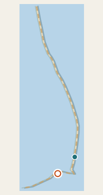
The last highway look before the ferry queue. Isabel’s Inlet country.
drivenc.gov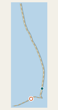
Official NCDOT ferry-camera page. Use it to judge the line before you drive to the tip of the island.
ncdot.gov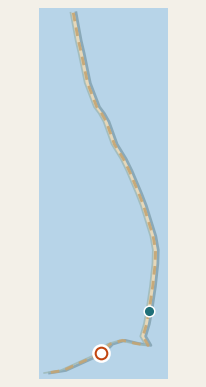
Ocracoke side of the same official NCDOT ferry page — not a statewide camera menu.
ncdot.govIndividual cameras go offline for maintenance, storms, or a lost internet connection more often than you’d think. These directories aggregate dozens at once, so there’s usually a backup — they are menus, not single cameras.
The official NCDOT map. Search Dare County and turn on traffic cameras.
drivenc.govA non-commercial research network of coastal cameras up and down the NC and Southeast coast.
webcoos.orgA local news outlet’s roundup of the DriveNC feeds, handy when NC-12 is making headlines.
outerbanksvoice.comA long-running local directory of Outer Banks webcams, organized by town.
obxconnection.comThe Surfline cam at Avon Pier. It's in the same village as the cottage, an easy bike ride from Lucky Landing, and the fastest way to check the ocean before you've made coffee.
No. It's a private residence, not a resort, so there's no live camera on the property. The Avon Pier cam a short ride away is the closest live view.
DriveNC.gov, run by the North Carolina Department of Transportation. It's a live map with camera icons along NC-12, including the flood-prone stretches near Rodanthe, Mirlo Beach and Buxton.
Not right now. The National Park Service tower cam is offline for the lighthouse restoration. The Surfline pin at Old Lighthouse Beach is the working Buxton ocean view.
Not reliably. Wind and power loss are exactly what takes a coastal camera and its internet connection offline, often right when people want to check it most. Treat webcams as a nice-to-have, not your source for storm safety information — use the National Hurricane Center, NWS Newport/Morehead City and Radio Hatteras for that.
A canal-front cottage in Avon with its own dock, kayaks, and the beach a short walk away.
See the House